
Chico Creek
47°35'48.4"N 122°42'25.9"W
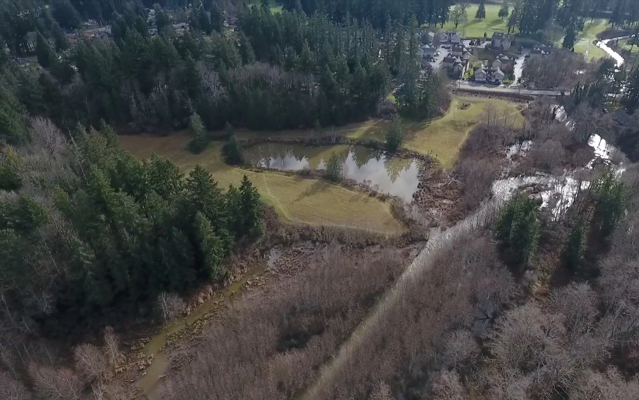
Site Overview
TEXT
PROJECT OVERVIEW BULLET POINTS:
Restore stream channel from current channelized state to natural meandering flow and realign with new WSDOT SR3 culvert replacement.
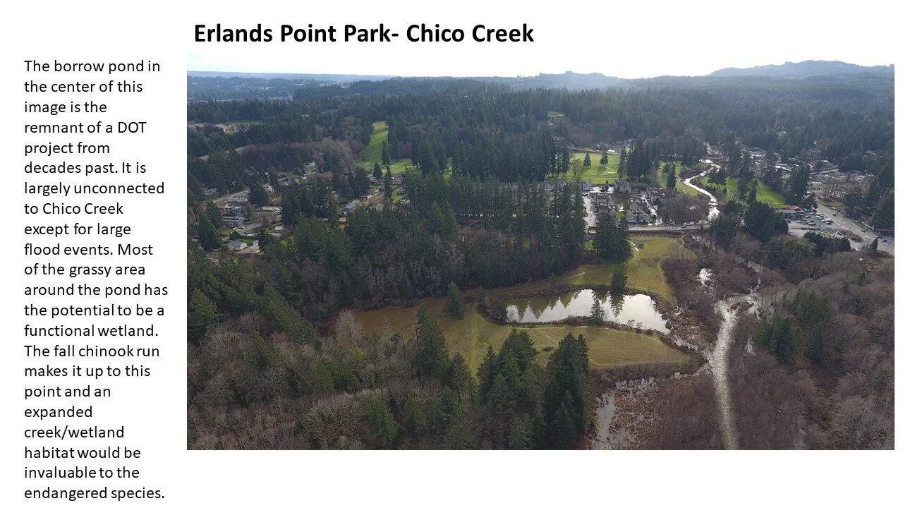
Enhance wetland function of neighboring borrow pond and improve connectivity to Chico Creek for additional off-channel rearing opportunities.
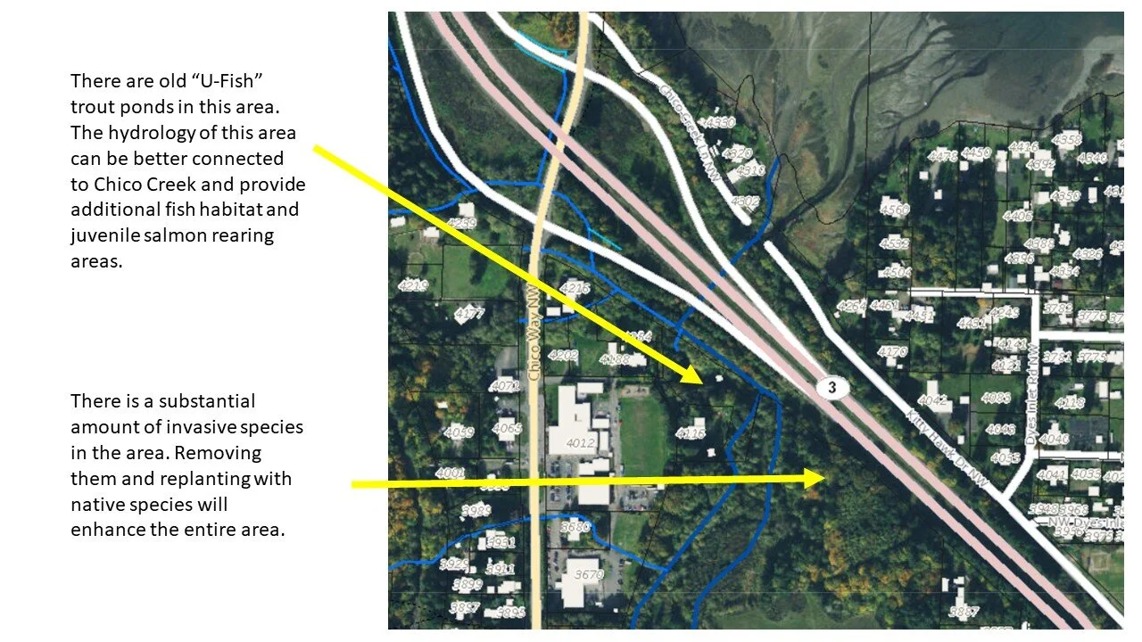
Connect historic U-Fish trout ponds with a stream system to enhance off-channel rearing opportunities.
Replant areas with native wetland vegetation.
Address connectivity of northwestern tributary to mainstream channel at SR3 if necessary.
Project Site
Aerial Video Overview
Aerial footage displays Chico Creek flowing under Hwy 3 into Chico Bay near Erlands Point.


Looking west at HWY 166 and the current estuary of Ross Creek.